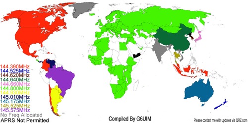
Automatic Packet Reporting System
Live APRS Feed from aprs.fi
What is Required for APRS? It is much easier, simpler and inexpensive than most people think.
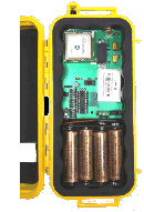
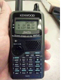
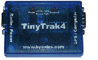
All you need is a radio (a handheld will work), a Packet TNC or a specially created APRS TNC like the
Tiny Trak, and a GPS unit. This is probably the most common option that many hams use. The Tiny Trak
is very affordable and can be purchased as a kit or already assembled.
Byonics, the creator of the Tiny Trak, even sells
pre-made cables for the Tiny Trak and your radio. So you connect the GPS to the Tiny Trak, the Tiny
Trak to the radio and as soon as the GPS is locked on the signals from the satellites, it will start
beaconing your position.